Site Approx. 45m NW Of, 74 Pharis Road 1 of 15
Site Approx. 45m NW Of, 74 Pharis Road 2 of 15
Site Approx. 45m NW Of, 74 Pharis Road 3 of 15
Site Approx. 45m NW Of, 74 Pharis Road 4 of 15
Site Approx. 45m NW Of, 74 Pharis Road 5 of 15
Site Approx. 45m NW Of, 74 Pharis Road 6 of 15
Site Approx. 45m NW Of, 74 Pharis Road 7 of 15
Site Approx. 45m NW Of, 74 Pharis Road 8 of 15
Site Approx. 45m NW Of, 74 Pharis Road 9 of 15
Site Approx. 45m NW Of, 74 Pharis Road 10 of 15
Site Approx. 45m NW Of, 74 Pharis Road 11 of 15
Site Approx. 45m NW Of, 74 Pharis Road 12 of 15
Site Approx. 45m NW Of, 74 Pharis Road 13 of 15
Site Approx. 45m NW Of, 74 Pharis Road 14 of 15
Site Approx. 45m NW Of, 74 Pharis Road 15 of 15

Site Approx. 45m NW Of, 74 Pharis Road,

Loughguile, Armoy, Ballymoney, BT53 8JZ

A Delightful Situation With Full Planning Permission Applied For.

Asking Price £39,950

Agent Logo

Contact McAfee Properties (Ballymoney)

+44 28 2766 7676

Property Overview

Status

For Sale

Land Type

Site (with FPP)

Planning

Full Planning Permission

Property Features

Size

0.6 acres

Property Financials

Price

Asking Price £39,950

Property Engagement

Views Last 7 Days

110

Views Last 30 Days

473

Views All Time

5,629

advertisement
advertisement
property description image

Additional Information

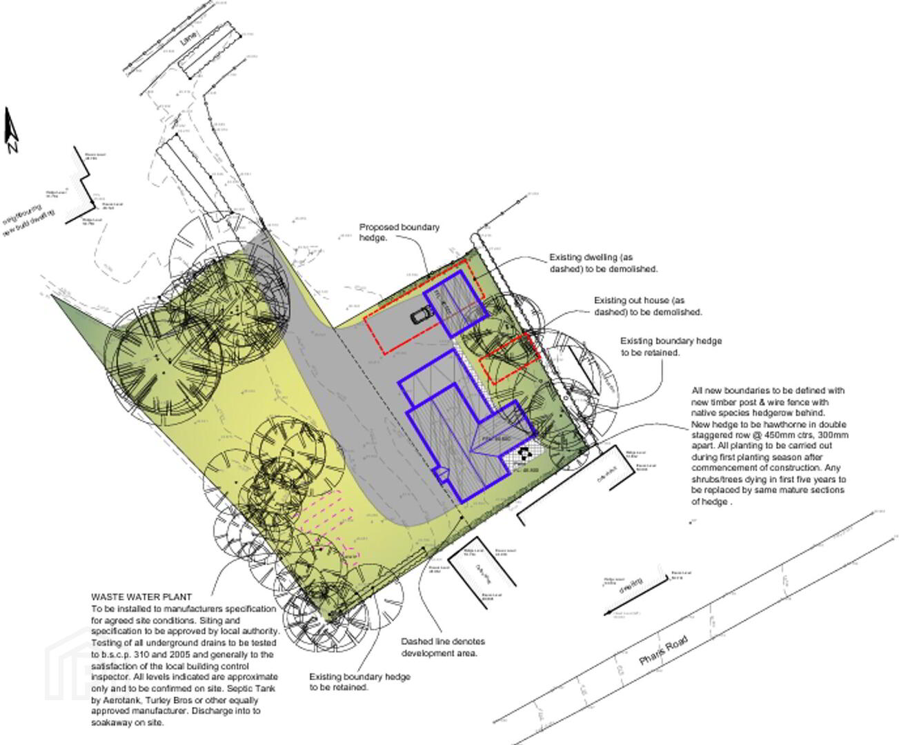
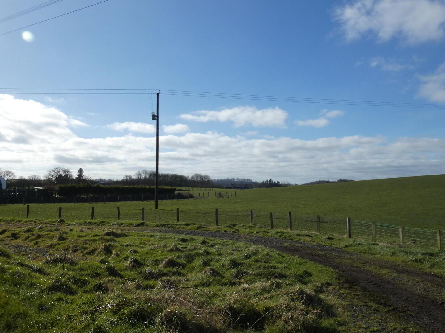
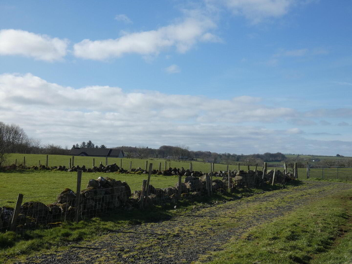
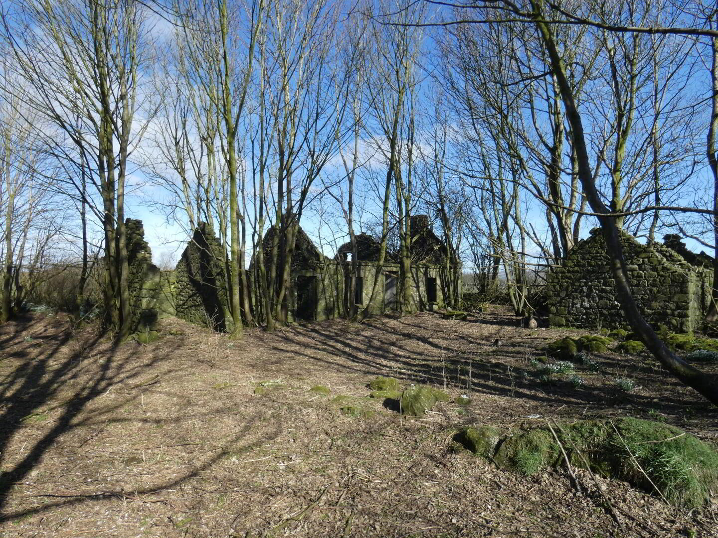
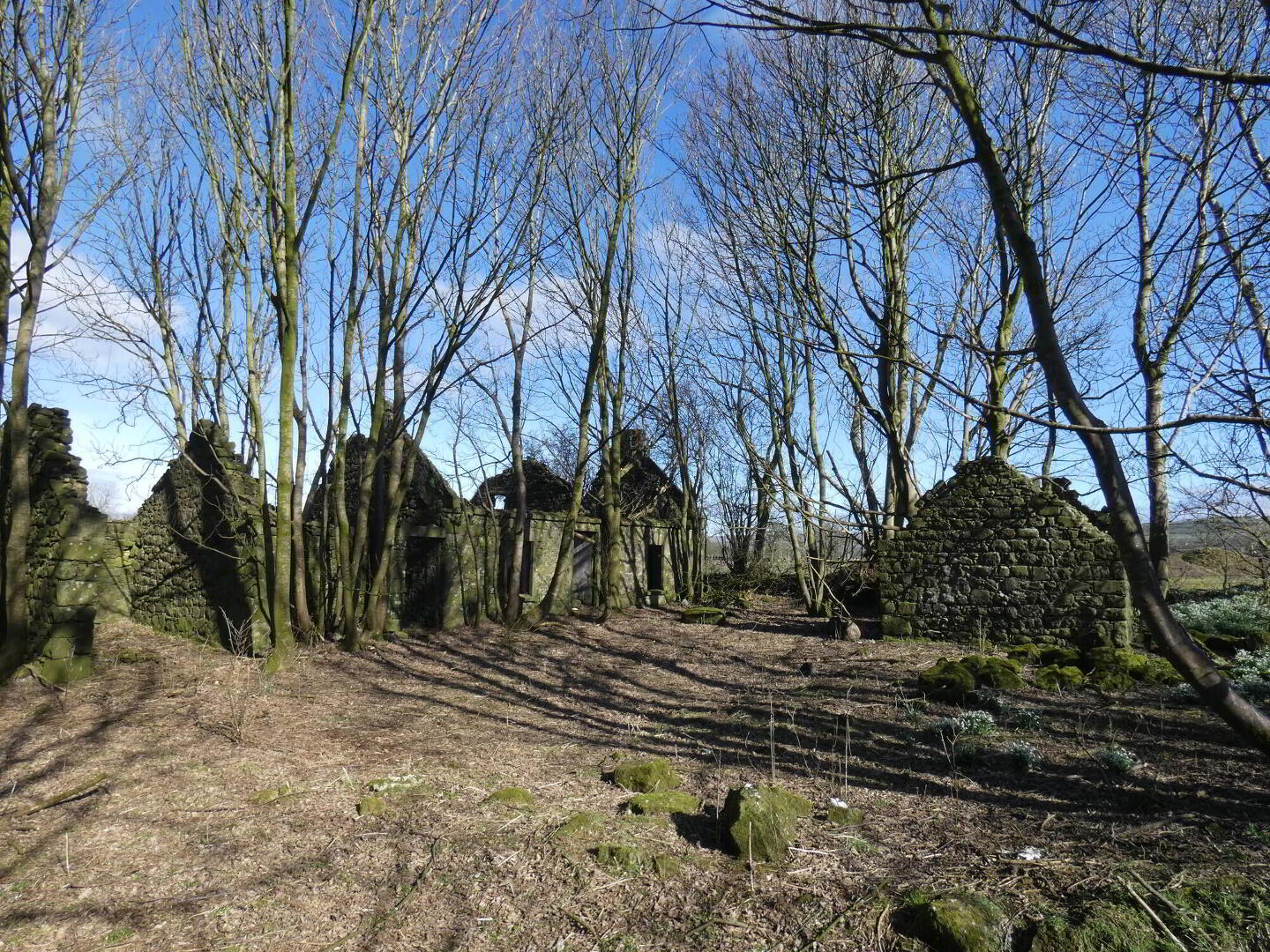
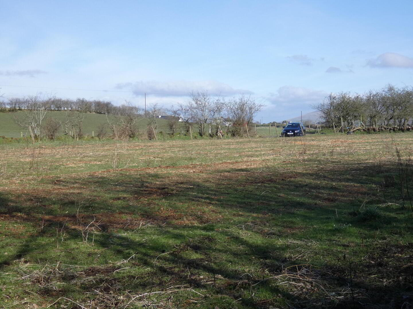
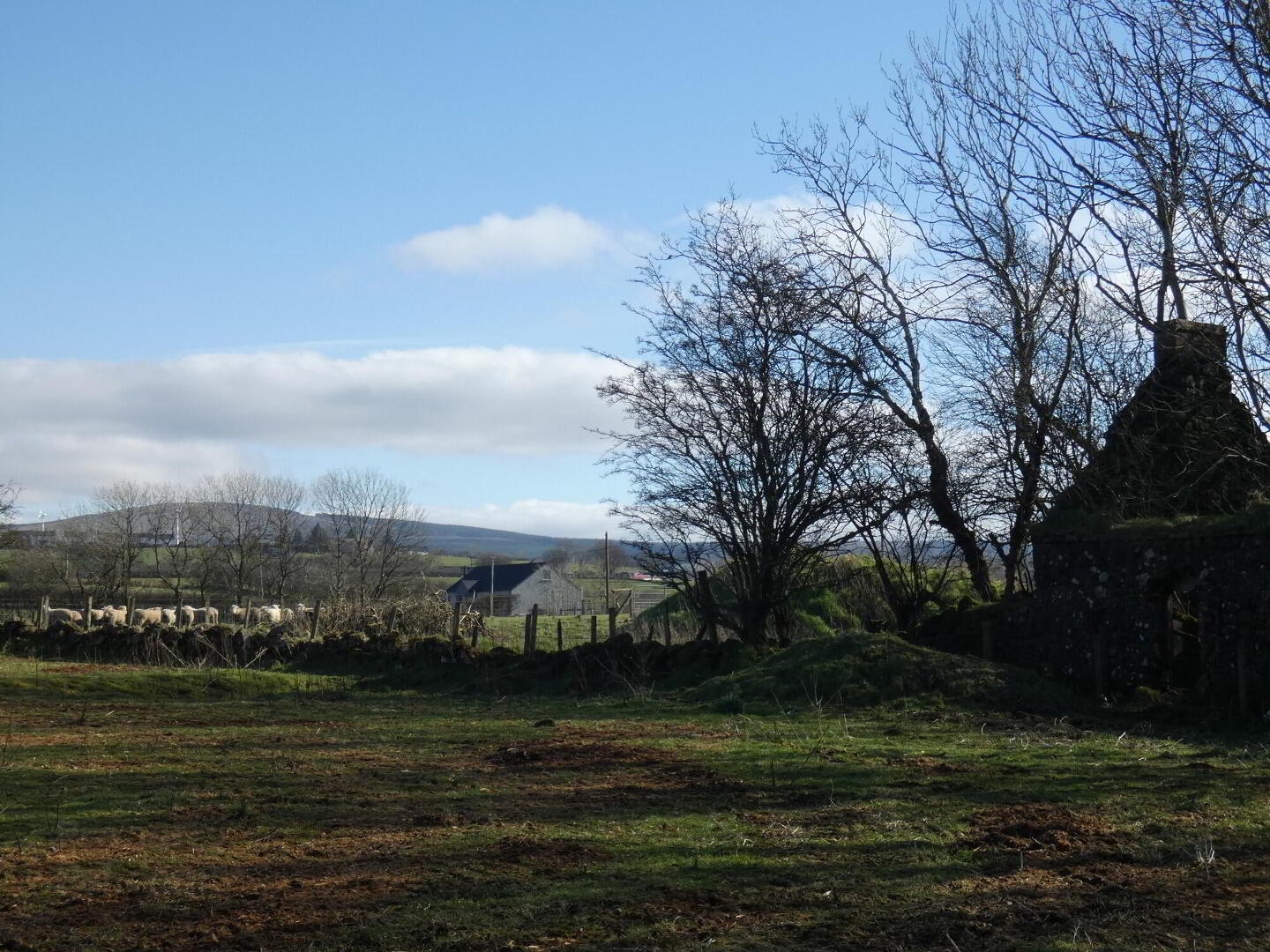
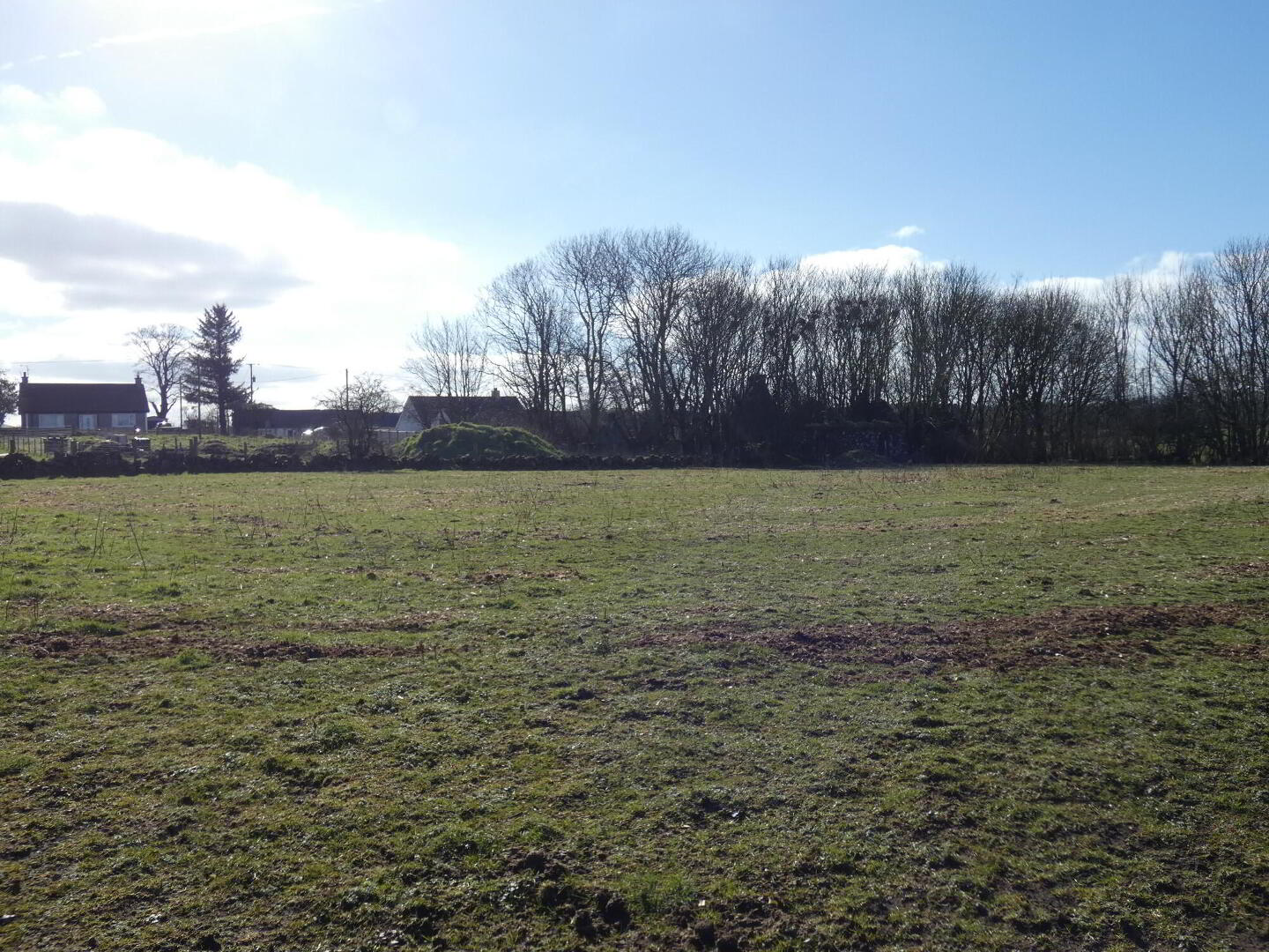
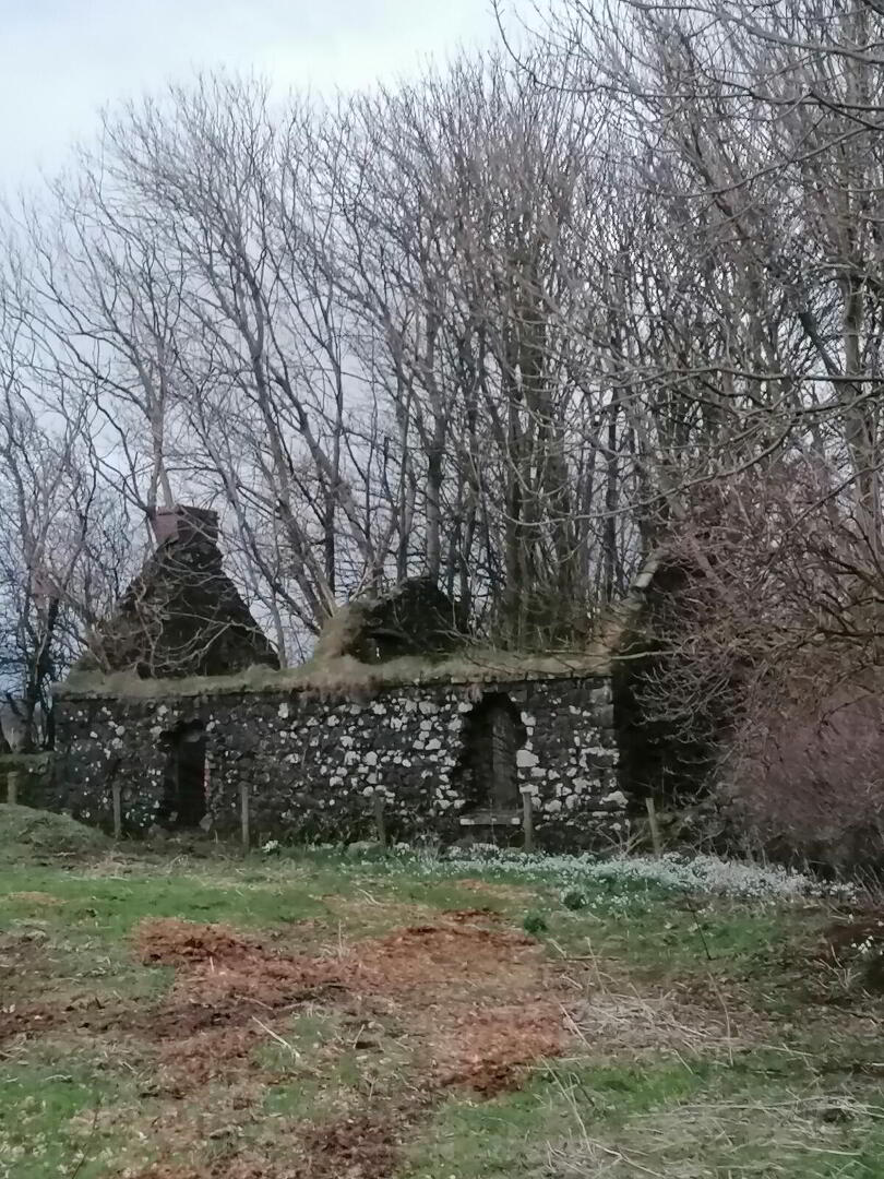
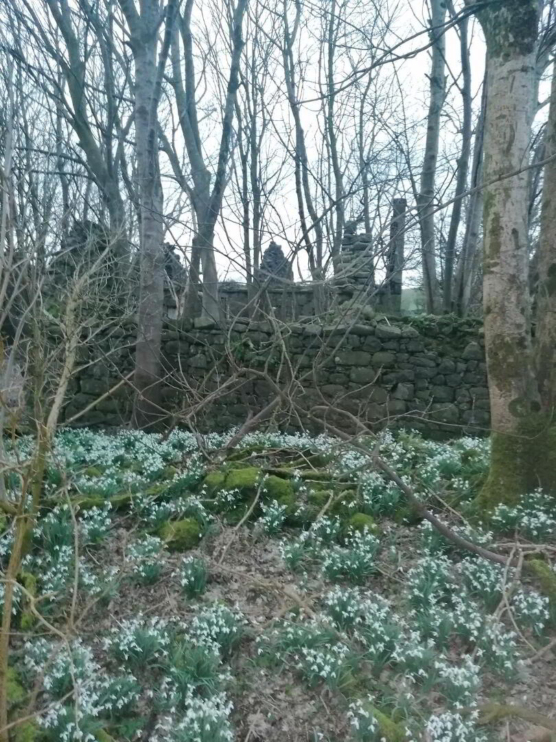
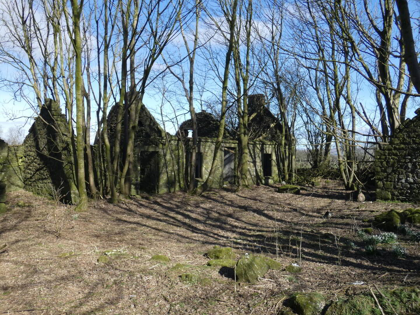
  • An idyllic rural building plot.
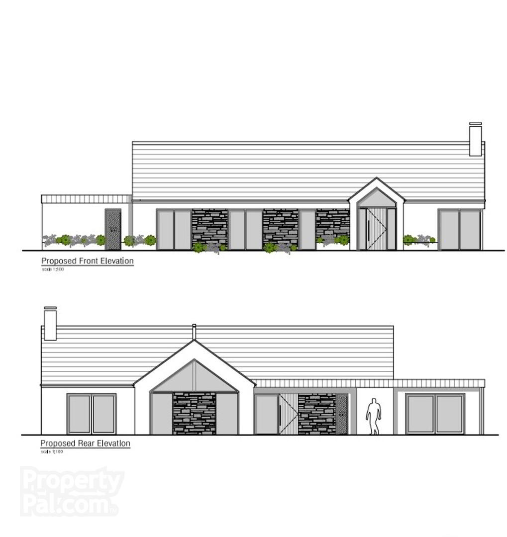
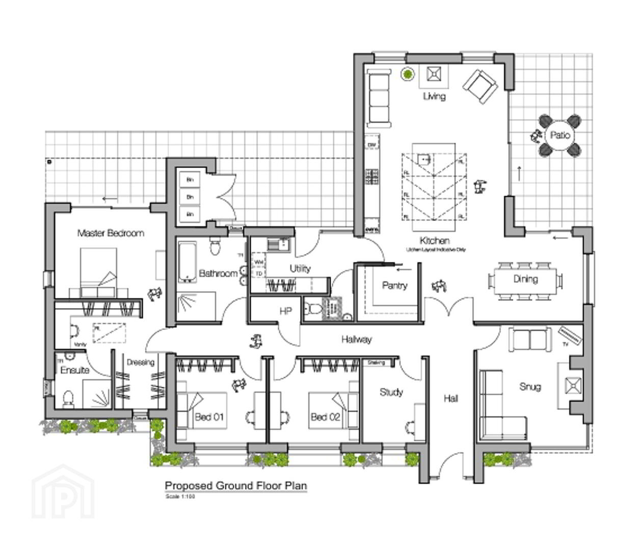
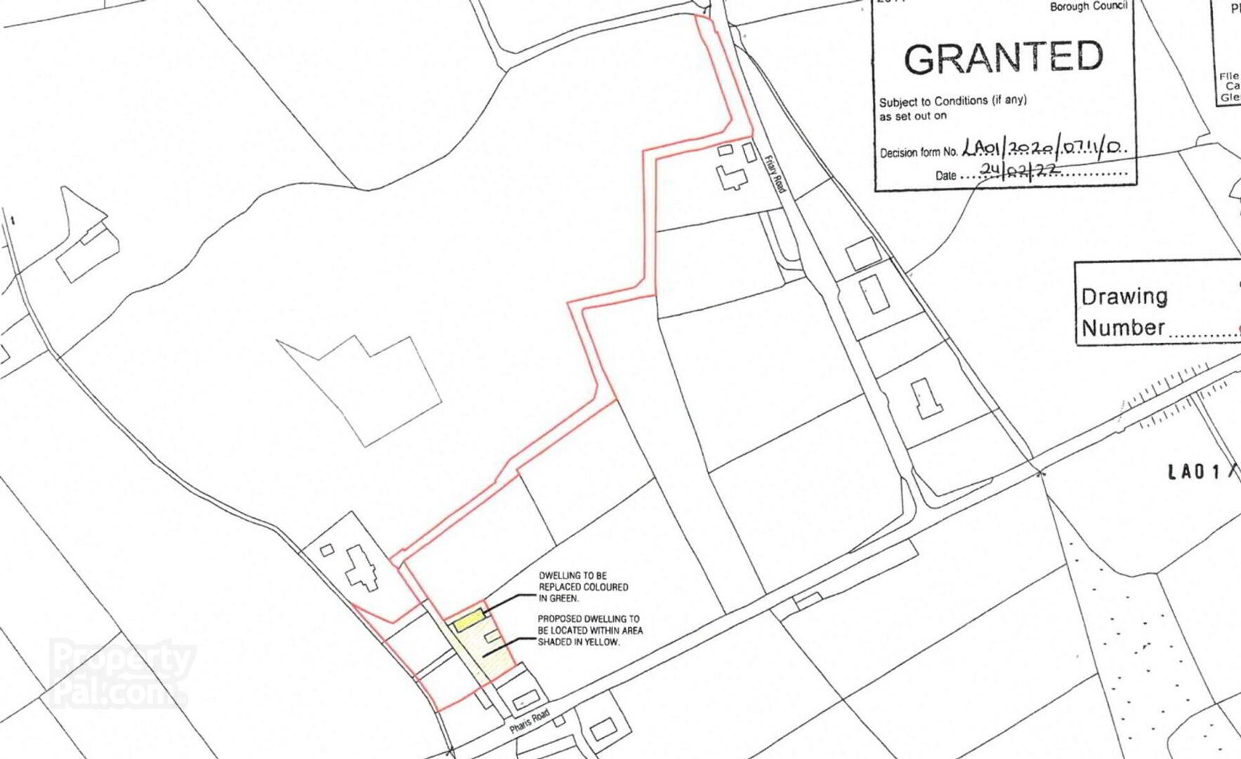
  • Outline planning permission (granted February 2022) for a single storey or chalet type dwelling - Full Planning now applied for.
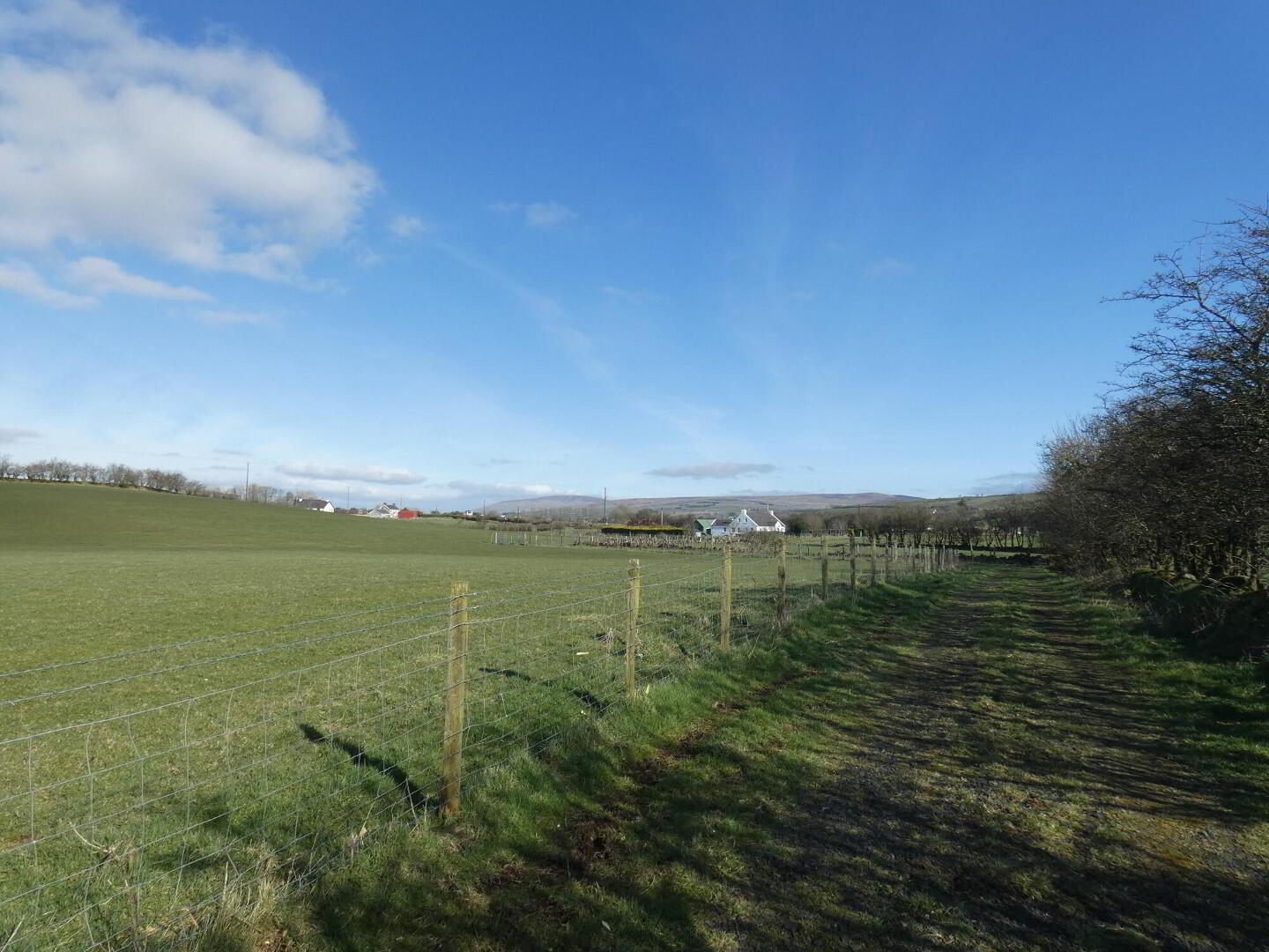
  • Shared access already in situ.
  • Delightful countryside views.
  • Mature plot with existing trees and foliage.
  • Rural situation yet conveniently positioned close to the Drones Road for commuting and within 10 miles drive to Ballymoney.
  • Planning Ref: LA01/2020/0711/0
  • Viewing highly recommended to fully appreciate the setting and superb potential of the same.

This delightful and mature building plot extends to circa 0.6 acres with views over the surrounding countryside and towards the Glens of Antrim mountains. Outline Planning Permission (LA01/2020/0710/0) has been granted (23rd February 2022) for a detached bungalow (with Full Planning just applied for) and as such we recommend inspection to fully appreciate this tranquil yet convenient building plot.

Directions

Leave Ballymoney town on the Kilraughts Road taking the second exit on the roundabout on the A26 Frosses Road - sign posted to the Killyrammer (B16). Continue on the same (4.5 miles) passing through the villages of Dunaghy, then Killyrammer and then turn right onto the Pharis Road. Continue on the same for 2.7 miles (crossing the Drones Road and the Ballyveely Road) and then left onto the Friary Road. After circa 0.1 miles the site is accessed by a shared lane on the left hand side.

Agent Accreditations

Logo for TPOS
Logo for Information Commissioner's Office
Logo for NAEA

Similar Properties

SPOTTED A PROBLEM? Even the best agents make mistakes, help us to maintain accurate property information on our listings.

Is this your property? Attract more buyers by upgrading your listing. See options and pricing