Lands, At Church Road/ Ballygowan Road,
Castlereagh, Belfast, BT6 9SA
Agricultural Land
Asking Price £1,250,000
Property Overview
Status
For Sale
Land Type
Agricultural Land
Property Features
Size
30.21 acres
Property Financials
Price
Asking Price £1,250,000
Property Engagement
Views All Time
737
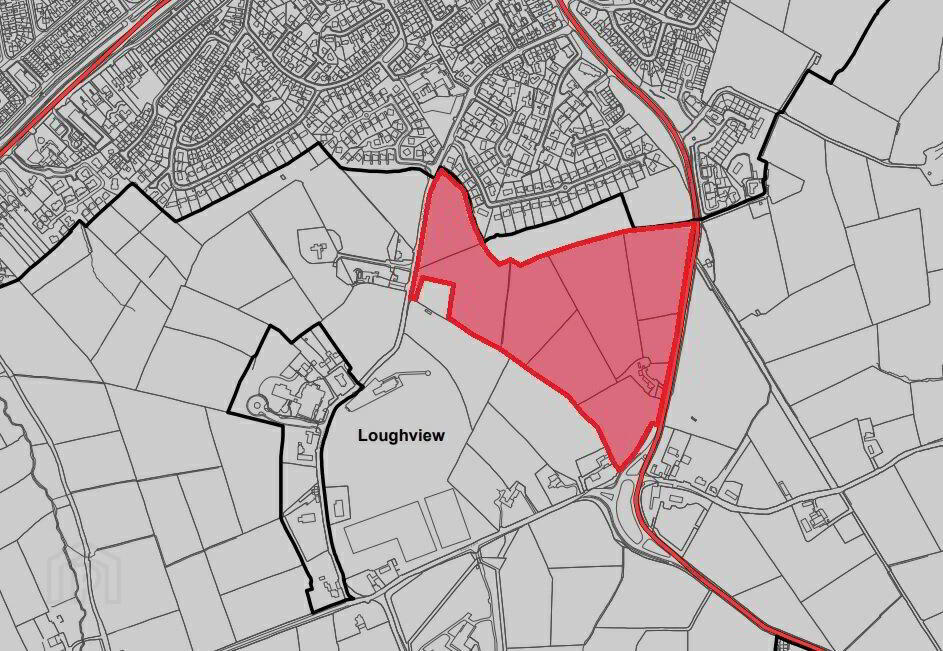
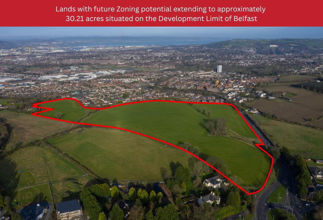
Lands with future Zoning potential extending to approximately 30.21 acres situated on the Development Limit of Belfast.
LOCATION
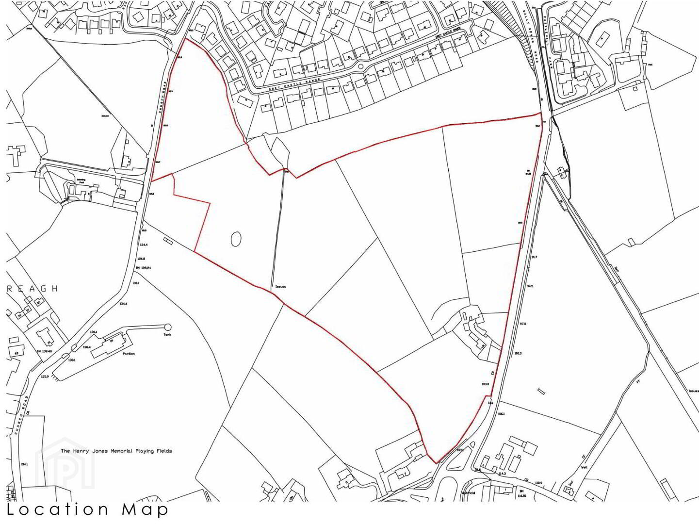
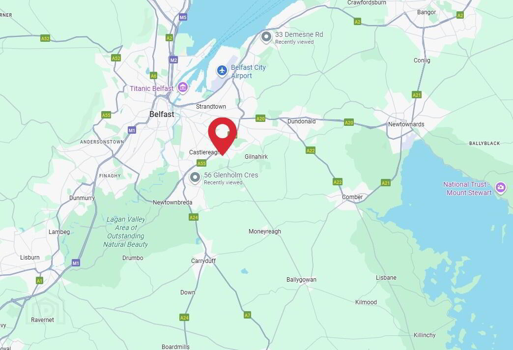
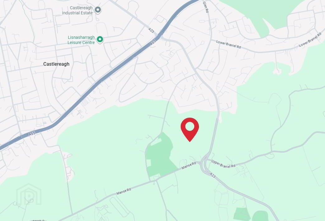
The subject site is situated between the Ballygowan Road to the eastern boundary and Church Road to the western boundary. Grey Castle Manor, a residential cul-de-sac, runs to the northern boundary of the site and further farmland and detached dwelling run to the southern boundary. The site is located on an urban/rural fringe of Belfast, approximately 3.5 miles south-east of Belfast City Centre. The higher lands have commanding views across Belfast City, Belfast Lough and toward Stormont Estate.
DESCRIPTION
The subject property comprises a site measuring 30.21 acres (12.23 hectares). The lands are separated into 3 no. fields, the boundaries of which are formed by mature trees and hedgerows. The lands in their entirety are laid in grass and rise steeply upwards from the Ballygowan Road. Toward the eastern boundary of the site and accessed directly off the Ballygowan Road there had historically been a dwelling house however this has since been demolished and cleared. This section of the site presently comprises of scrubland. There are access points to the land from both Church Road and Ballygowan Road for agricultural purposes.
The development limit of Belfast forms part of the northern boundary of the property and the lands are designated as an area of high scenic value in the adopted Belfast Metropolitan Area Plan 2015.
NB An aerial video of the land is available upon request.
PLANNING
The subject site is located within Belfast City Council and development of the area comes under the remit of the Belfast Metropolitan Area Plan 2015. The property is detailed on BMAP 2015 MAP No.4/004 ‘Belfast City’ and is located within the South Belfast boundary. The site is located outside the development limit with the development limit running along the northern boundary of the site.
We note the following planning application in relation to the subject property:
Planning Reference: Y/2014/0015/0 – ‘Proposed Medical centre nursing home spa/leisure sports and recreation facilities with associated ancillary accommodation restaurants/retail units and associated living accommodation.’
The planning application was withdrawn in February 2016.
TITLE
We are advised that the subject site is held by way of freehold title.


