
Howdens Quay Bank Road,
Larne
Development Land
Sale agreed
Contact TDK Commercial Property Consultants LLP
+44 28 9024 7111
Property Overview
Status
Sale Agreed
Land Type
Development Land
Property Features
Size
47 acres
Property Financials
Price
Last listed at Offers Over £1,550,000
Property Engagement
Views Last 7 Days
25
Views Last 30 Days
130
Views All Time
14,350
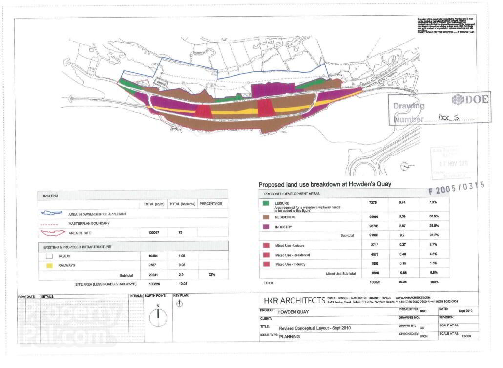
The site had outline planning permission granted for a mixed use redevelopment of the site under planning ref F/2005/0315/O. The Larne Area Plan 2010 has the site zoned for a mixed use redevelopment under sections OS4, IND3 and IN3. The planning application was successful in revising the proportions of the areas zoned for different types of development from the criteria set out in the area plan. The residential proportion was increased to 60% from 35% and the industrial proportion was reduced from 55% to 30%. The leisure proportion remained the same and accounts for 10%.
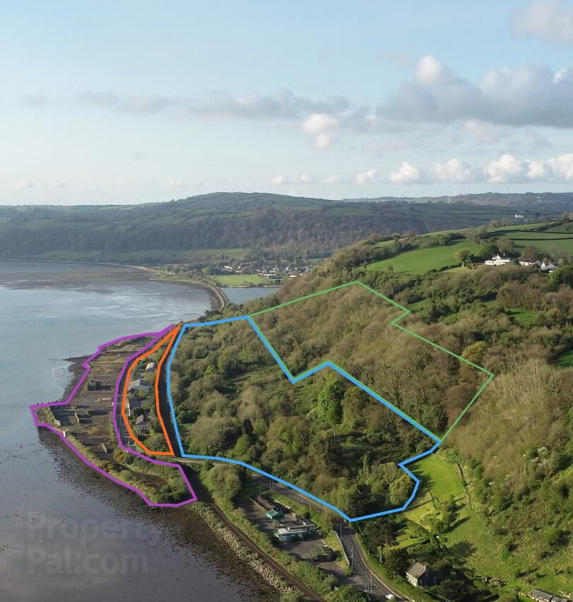
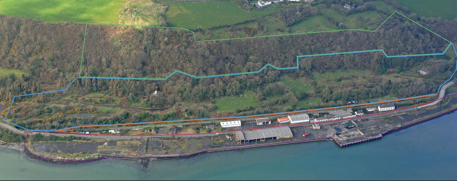
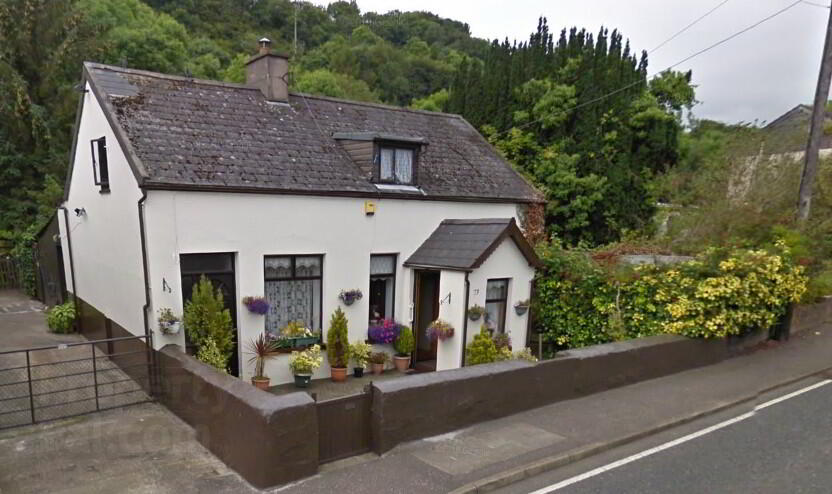
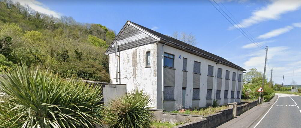
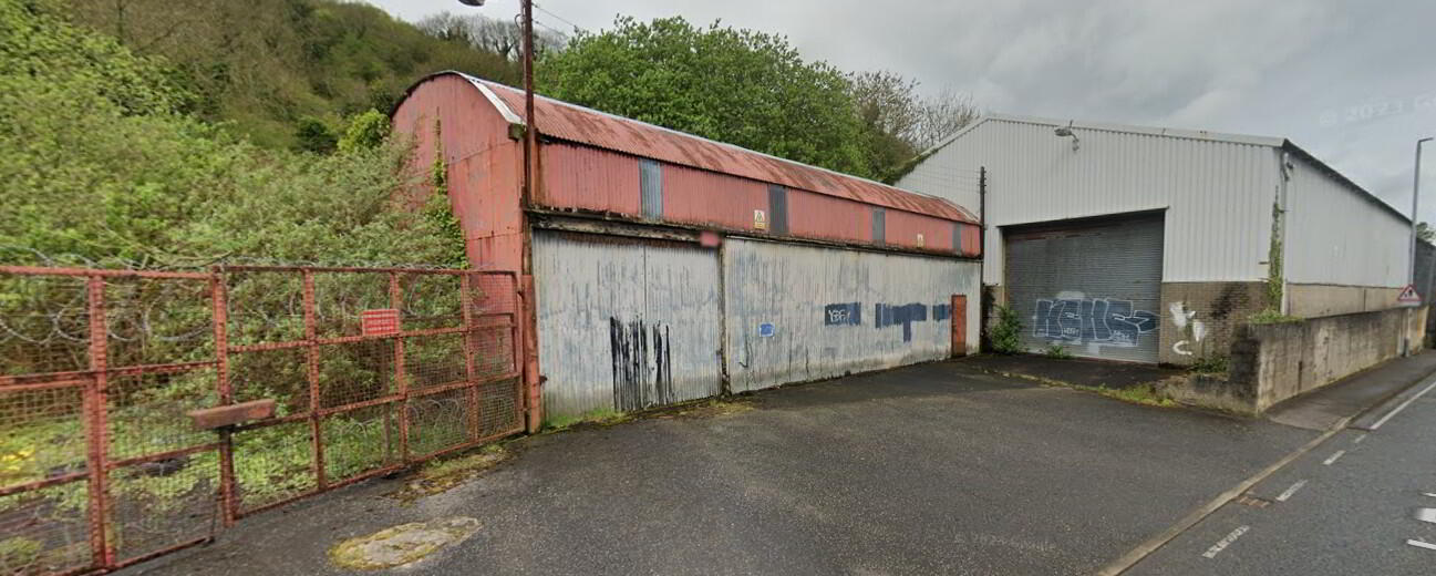
This expansive 47-acre (19.02 hectare) site has been divided into four lots with varying sizes but may still be purchased as a single site. It offers significant development opportunities. There are currently
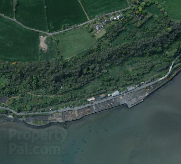
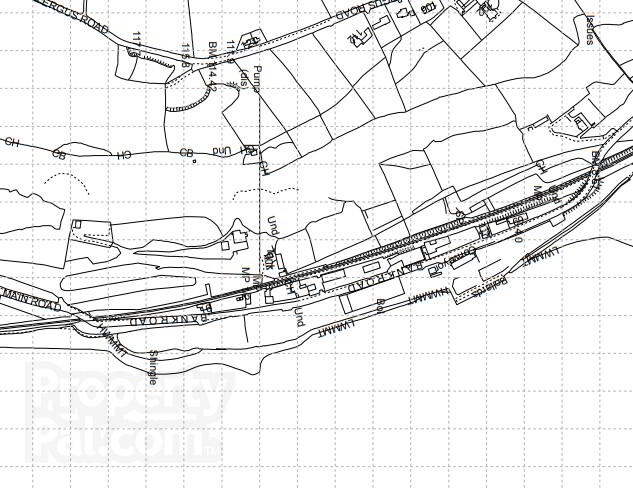
2 houses, 5 warehouses and offices on the property in addition to several structures that were part of the site’s previous business use. The Northern Ireland Railways Larne to Belfast Line and the A2 Larne
to Carrickfergus passes through the site. The lands have extensive frontage on to Larne Lough c. 1 km in length. Most of the land between the railway line and the lough is level and offers a solid foundation for
development. The western portion of the site rises gently from the A2 before rising steeply toward the Antrim Plateau. The escarpment is steep and heavily wooded, and it may be useful as amenity land and/or leisure use.